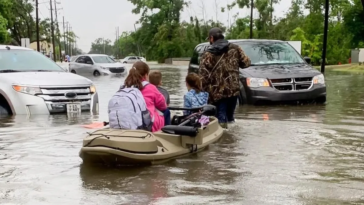
Starting Monday and continuing through Tuesday morning, the National Weather Force has put out a Flood Watch for the southern region of Louisiana.
Let’s talk about the upcoming weather situation. A tropical low is expected to move towards Northeast Mexico and into the Gulf of Mexico this weekend. The Southern Texas region will be the first to experience rainfall, which will increase on Sunday. By Monday, the rainfall will move into Louisiana, causing flooding conditions from later morning or early afternoon until early Tuesday morning.
The National Weather Force’s Flood Risk Assessment Model has revealed that there is an extreme risk of flooding in the southeast, southern, and south-central states within the watch area. As depicted in the article image, the flood watch zone is where the moderate, high, and extreme color shades are present. On Tuesday afternoon, the state will be cleared by this system.
The Master General Meteorologist is a highly experienced consulting meteorologist who has been providing his expertise for over 25 years to more than 50 different companies in diverse industries such as energy, agriculture, aviation, marine, and leisure. He holds certifications from Mississippi State for broadcast meteorology and Penn State’s MET 101, 241, 341, and 361 for forecasting. Interestingly, he was self-taught before acquiring his certifications and found that the schools he attended didn’t teach him much that he didn’t already know.
Also Read:
- Semi-truck hits into train in Indiana County
- Police report possible antisemitic attack on woman by man inside Manhattan train station
- Tonight will see rainfall, but the weather is expected to improve on Saturday.


