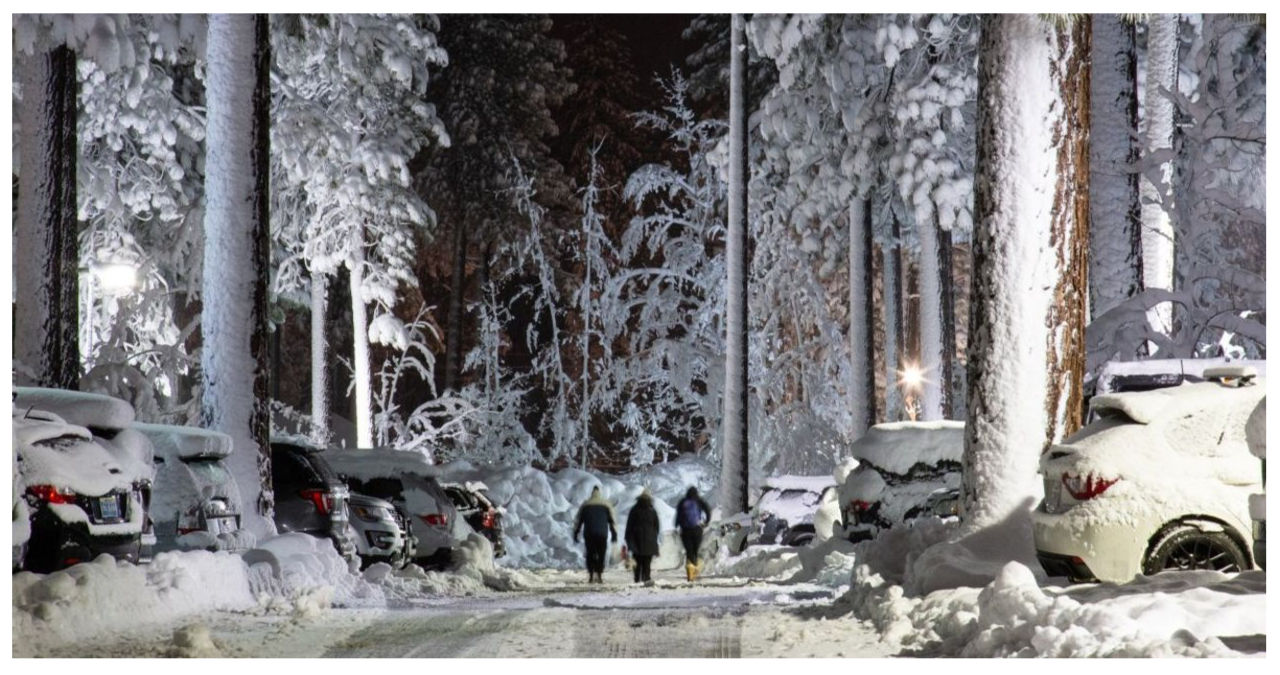
Mocobizscene – The mountainous areas of California are expected to be blanketed with approximately 10 feet of snow by Saturday as a powerful winter storm from the Pacific Ocean continues to sweep across the West Coast.
On Wednesday, the National Weather Service (NWS) station in Sacramento issued a forecast predicting that higher elevations in northern and eastern California would receive significant amounts of snow, with totals expected to reach into double digits.
The forecast for the Sierra Nevada predicts that there could be up to 12 feet of snowfall above 5,000 feet, with the possibility of even higher amounts in certain areas.
The warning emphasized the highly perilous travel conditions caused by the combination of strong winds and heavy snow. It further highlighted the potential risks of downed trees, branches, and power outages. In light of these circumstances, it advised individuals to avoid mountain travel during the weekend and to be adequately prepared if residing in the affected areas.
Colin McCarthy, an experienced storm chaser and atmospheric science student, expressed his astonishment at the unprecedented blizzard forecast in California. According to him, this storm is unlike anything he has ever witnessed before, with unimaginable quantities of snow and powerful winds. McCarthy strongly advises against underestimating the severity of this storm.
Winter storm warnings have been issued across northern California, Oregon, Washington, and western Nevada due to the upcoming winter storm. The forecast predicts heavy snowfall rates, with the possibility of exceeding three inches per hour in certain areas.
Blizzard warnings have been issued for California’s Sierra Nevada region due to the anticipation of strong winds gusting up to 75 miles an hour. These powerful winds are expected to result in blowing and drifting snow, rendering travel impossible in certain areas.
According to the NWS, the storm is expected to reach the northwest region on Wednesday and Thursday, affecting states such as Washington, Oregon, Idaho, and Montana. It will then proceed to the mountains in northern and central California on Friday.
Snow levels are forecasted to decrease on Saturday, with temperatures dropping to 10-20 degrees Fahrenheit below normal. As the storm progresses southward, snow levels are expected to decrease in certain northern California and Sierra Nevada foothill regions.
After a previous winter storm from the Pacific hit land earlier this week, it continued its course into the Intermountain West, resulting in heavy snowfall across Utah, Wyoming, and Colorado.
So far this winter, Western states have already experienced multiple episodes of heavy snowfall. These regions have been hit by a series of atmospheric rivers, which have led to rare blizzard warnings, including one issued for Seattle in early January.
According to the NWS, the upcoming storm is expected to bring coastal rain to certain areas of the Pacific Northwest starting from Wednesday. It will gradually develop over California and continue until Saturday.
Two powerful atmospheric river storms from the Pacific Ocean caused extensive flooding in California earlier this month.


