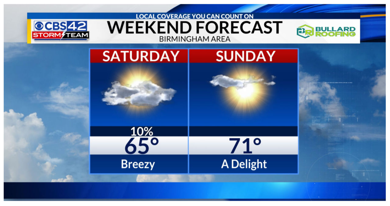
The weekend ahead promises a shift towards drier conditions. On Saturday morning, a cold front will sweep across Alabama, effectively bringing an end to the rain. Although the day will start off cloudy, expect the skies to gradually clear up, allowing for a partly cloudy and breezy afternoon. With winds reaching approximately 15-20 mph and gusts nearing 30 mph, it’s advised to brace for a blustery day. As for temperatures, anticipate highs in the mid-60s. Moving onto Sunday, the weather outlook appears even more promising, with mostly sunny skies and warmer temperatures reaching the lower 70s.
Next week’s weather forecast indicates that Monday will bring partly cloudy skies and mild temperatures, with highs reaching around 70°. However, we can expect a change in weather as a cold front moves in on Monday night, leading to potentially heavy rain and gusty winds on Tuesday. It is important to stay weather aware and prepared for these conditions.
Expect a squall line of heavy rain and storms preceding the front. While severe weather is not anticipated, some storms may pack a punch with gusty winds ranging from 40-60 mph. Anticipate rainfall amounts exceeding 1-2 inches, which could potentially lead to minor flooding concerns.
The squall line is expected to move across Central Alabama between 6 AM and Noon. As we approach Tuesday, we will have a better idea of the exact timing and impacts. Expect high temperatures in the upper 60s.
The rain is expected to persist until Wednesday morning, but we can expect dry conditions in the afternoon, accompanied by highs in the upper 60s. Moving into Thursday and Friday, we can look forward to dry weather with plenty of sunshine, and temperatures ranging from 65° to 70° each day.


