Mocobizscene- Another storm system is expected to hit the New Orleans area overnight, posing a higher risk of tornadoes and damaging winds. Despite the lingering threat from the first storm, residents should prepare for the possibility of severe weather.
A cold front is currently sweeping across Louisiana, and it is poised to bring a second powerful wave of storms to New Orleans. This weather system is anticipated to arrive in the city between midnight and 4 a.m.
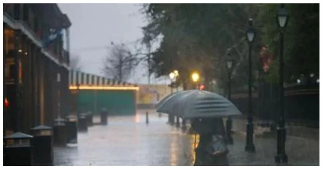
Overnight, the risk of severe weather increases, bringing with it the potential for more rain and flash flooding.
According to National Weather Service meteorologist Megan Williams, this is the perfect opportunity to witness the most severe weather conditions.
However, the area will not see relief from the first storm system until the next front arrives. During this time, there is still a risk of strong gusts and heavy rain.
The tornado watch has been extended until 7 a.m. Tuesday, while the flood watch will remain in effect until 9 a.m. Additionally, there is a high-wind warning until 3 a.m. and a wind advisory through 6 p.m. Tuesday.
The second round of storms is expected to bring additional advisories.
The country is already experiencing the impact of a powerful cold front, which has caused temperatures to drop significantly and brought winter weather conditions. The Southeastern region, including Florida, is particularly at risk of severe weather threats.
By Wednesday morning, the New Orleans area is expected to experience temperatures in the mid-30s. However, there will not be an immediate drop in temperatures.
Severe weather impact
According to Williams, the New Orleans airport has received between half an inch and three-quarters of an inch of rainfall.
As of 7 p.m., approximately 1,700 Entergy customers were experiencing power outages in various neighborhoods of Jefferson Parish. In total, over 17,000 people across the state were affected by these outages.
Severe thunderstorms in the initial round wreaked havoc primarily in the western region of the metro area. The town of Labadieville, situated west of Thibodaux, was particularly affected by the damaging winds. Additionally, areas like Mandeville, the northshore, and the northern parts of the Mississippi coast experienced hail and street flooding due to these intense storms.
The St. Tammany Parish Government issued a stern warning, urging people to refrain from traveling tonight unless it is absolutely necessary. They emphasized that another powerful bout of weather is expected later tonight and now is not the time to let one’s guard down.
The high winds also led to a brief closure of the Causeway bridge.
Also Read:
- Dramatic Water Rescue: DC Sailboat Overturns, Individual Saved
- Investigation Underway After Shots Fired Outside Franklin D Reeves Center in Northwest DC
- Stabbing incident leaves three injured at nightclub in Northwest DC


