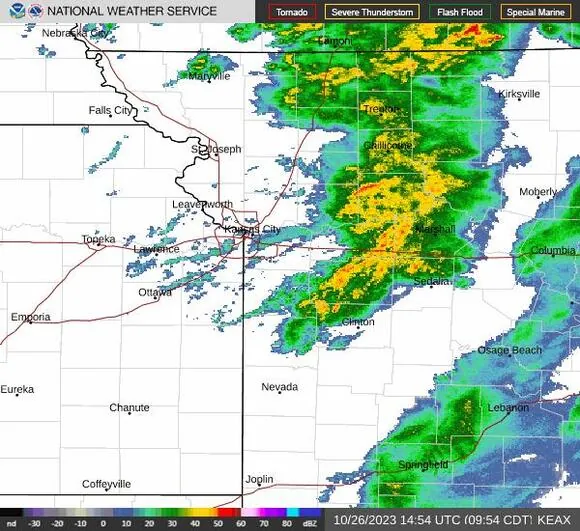
According to the National Weather Service in Kansas City, showers and thunderstorms persisted in the Kansas City region on Thursday. However, the likelihood of rain is anticipated to decline as the day progresses.
According to the weather service, the likelihood of rain is estimated to be between 60 to 70%, with the highest chances expected during the morning hours. As per the weather report, this trend is likely to continue for the time being.
As we approach noon, the chance of rain is expected to drop to around 20 to 30% in the metropolitan area of Kansas City. Despite the unseasonably warm weather, temperatures are predicted to reach the mid-70s in the afternoon, which is significantly higher than the usual low 60s for this time of year in Kansas City.
According to the weather service, there is a likelihood of another round of storms as a robust cold front is anticipated to pass through the region on Thursday night and Friday morning. The Kansas City area may experience a 40 to 60% chance of rain throughout the morning and afternoon.
As we move towards the afternoon and evening, the weather conditions are expected to become drier. There is a likelihood of some rainfall, which is estimated to be around .25 inches, until Friday.
As for the front, brace yourself for a significant drop in temperature. The upcoming Friday is likely to be much colder than the preceding days with the mercury expected to hit the mid-50s during the day and plummet into the 30s overnight. So, make sure you bundle up and keep yourself warm to tackle the chilly weather.
According to the weather service, the upcoming weekend will bring another round of storms, with a high possibility of cold rain as temperatures will only reach the 40s. The chances of rain will be the greatest on Saturday night into Sunday morning, with a range of 70 to 100%. To stay informed on the latest weather updates, check out the link provided by the weather service.
There is a chance of receiving more rainfall, ranging from .25 to .50 inches. Anticipate a drop in temperature to around freezing point on Saturday night.
Northwest Missouri and northeast Kansas are likely to experience a mix of rain and snow due to the cold weather. The probability of this occurrence is estimated to be between 40 to 50 percent.
According to the weather service’s forecast discussion, there may be a chance for slight accumulations despite the limited amount of moisture as temperatures decrease.
Looking ahead to next week, it appears that the chilly weather is here to stay. The forecast predicts that the coldest temperatures are likely to occur from Sunday through Wednesday, with a hard freeze anticipated across the Kansas City region. Sadly, this also means that the growing season will come to an end.
According to the weather forecast, Kansas City can expect temperatures to be in the mid-30s on Sunday, followed by low to mid-40s from Monday through Thursday. So, it seems like slightly warmer weather is on the way for the city in the coming days.
If you’re planning on celebrating Halloween outdoors, it’s crucial to incorporate warm costumes into your attire. According to the National Weather Service, temperatures are expected to be a few degrees above freezing between 6 and 9 p.m. Tuesday. To ensure that you and your family stay comfortable while trick-or-treating, be sure to dress in layers and wear cozy accessories.
Read More:
- Woman killed in weekend gunshot on Main Street in Kansas City
- Police in Kansas City report successful recovery of abducted 1-year-old girl