Around 25,000 customers in Vermont were left without power on Sunday morning due to the heavy, wet snow that covered parts of the state. Later in the day, another round of snowfall was anticipated.
According to VTOutages, as of 9 a.m. on Sunday, power outages were primarily located in Washington, Orange, and Rutland counties. The towns with the highest number of outages were Warren, Waitsfield, and Fayston in the Mad River Valley.
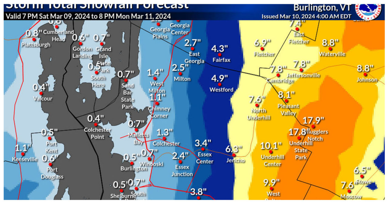
Some of the heaviest snowfall was recorded in that area. The National Weather Service reported that Warren received 12 inches of snow overnight. Braintree saw about 12.5 inches of snow, while Rochester received 11.5 inches. Williamstown and Northfield both had 10 inches of snow. In contrast, most other parts of the state only received 1 to 6 inches.
According to Conor Lahiff, a meteorologist at the Burlington office of the weather service, the eastern slopes of the Green Mountains experienced the heaviest snowfall. In contrast, lower-lying valleys saw more rain.
According to Lahiff, the initial round of snow and rain was subsiding on Sunday morning. However, he mentioned that a second round of snow is expected to return around 8 p.m., and it will persist until Monday night. This time, the snow will be lighter and fluffier. Lahiff added that the western slopes of the Greens would be the “sweet spot” for this second round, with an anticipated accumulation of 8 to 10 inches.
The storms over the weekend arrived following a sequence of thaws that caused the snow to melt across the state, resulting in an unusually early mud season.


