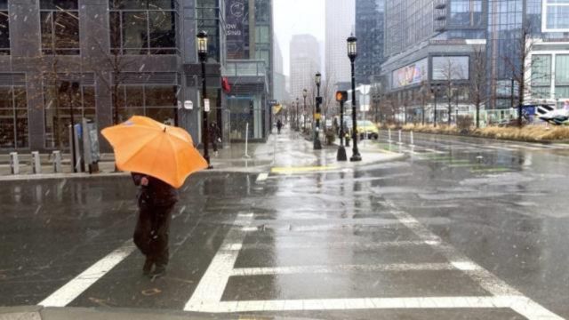
A powerful spring storm system, which unleashed heavy rain, wind, snow, and tornadoes across multiple states on Tuesday, is currently moving towards the East Coast. This puts the potential for severe weather in the path of millions more individuals.
The National Weather Service (NWS) issued a bulletin on Wednesday, warning that residents in the Great Lakes region, New York, New England, and the mid-Atlantic region could all potentially be affected by severe weather conditions until Friday.
According to the National Weather Service (NWS), the upcoming system will have a significant impact due to heavy snow and wind. The NWS warns that this combination of heavy snow rates and gusty winds will create hazardous travel conditions, including whiteout conditions and snow-covered roads. Additionally, the wet snow, high snow load, and strong wind gusts may lead to tree damage and power outages.
Showers and thunderstorms are expected to bring heavy rainfall across the mid-Atlantic and Northeast regions until Thursday morning, as advised by NWS forecasters.
According to the National Weather Service (NWS), the Northeast Coast will experience moderate coastal flooding due to prolonged onshore winds. This weather condition is expected to persist from late Wednesday into Thursday. The bulletin issued by the NWS highlights the potential impacts of this flooding, including widespread roadway flooding, coastal and bayside flooding, impassable roads, and potential damage to vulnerable structures.
The storm system has already brought heavy wind and rain, tornadoes, downed trees, and flooding from the Ohio Valley through the South earlier this week. As of Wednesday morning, Poweroutage.us reported that thousands of people are still without power.
Kentucky Governor Andrew Beshear (D) and West Virginia Governor Jim Justice (R) have both taken decisive action by declaring states of emergency for their respective states’ residents.


