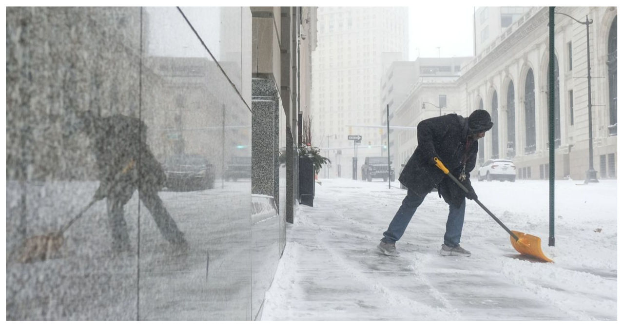
Winter weather alerts have been issued for portions of seven states as lake-effect snow is poised to make a comeback in the Great Lakes region. Meanwhile, the West Coast is bracing for another late-season atmospheric river storm.
The National Weather Service (NWS) has issued advisories for several states, including California, Idaho, Michigan, Montana, Oregon, Utah, and Wyoming. Additionally, warnings have been issued specifically for California and Michigan.
The NWS office in Marquette, Michigan has issued its latest forecast, revealing that a broad area of low pressure is responsible for bringing cold airflow and sub-freezing temperatures of 3-7 degrees Fahrenheit over Lake Superior. This weather pattern is leading to the development of lake-effect snow towards the west.
Lake-effect snow occurs when cold air gathers moisture from warmer bodies of water, resulting in precipitation. In the Great Lakes region, this phenomenon is typically caused by a Clipper system that brings cold air from Canada.
Throughout the winter, the Great Lakes region has already experienced multiple episodes of lake-effect snow. This meteorological phenomenon has resulted in significant snowfall, with accumulations reaching up to three feet in January.
Snowfall is anticipated to stay relatively light throughout the majority of the area, with the potential for up to three inches of accumulation under cloud bands and the chance of localized higher amounts.
In Michigan’s Keweenaw and Ontonagon counties, forecasters predict up to eight inches of snow, with the heaviest amounts expected in higher terrains. Additionally, winds could reach speeds of up to 35 miles per hour.
Houghton County is bracing for worsening weather conditions, with an expected snowfall of up to 10 inches. Higher terrains may even see up to 13 inches of snow. In addition, strong winds could result in areas of blowing snow.
According to the National Weather Service (NWS), there will be unsettled weather in the West due to a frontal system moving southwest until Friday. In mountain ranges, there is a possibility of locally heavy snow. On Friday, wintry precipitation will move into the Plains and reach the Great Lakes by Saturday.
On Friday, the California coastline will experience the approach of a low-pressure system. This system will combine with an atmospheric river, which is a narrow channel in the atmosphere capable of carrying a significant amount of moisture. As a result, there is a potential for excessive rain and flash flooding throughout the weekend.
Up to 10 inches of snow is forecasted in the Sierra Nevada mountains of California, with the highest peaks expected to receive 15 inches. Additionally, powerful gusts of wind reaching speeds of up to 45 miles per hour are anticipated.
In the Lake Tahoe region, expect the possibility of up to one foot of snow at elevations above 7,000 feet, with up to 18 inches along the Sierra range crest.
The mountain ranges of southern Oregon are expected to experience ongoing snowfall, bringing with it up to 15 inches of snow and winds reaching speeds of up to 45 miles per hour.
In the Wasatch Mountains of Utah, forecasters are predicting up to a foot of snowfall, with rates reaching an impressive inch per hour on Thursday afternoon. Meanwhile, the Wind River Mountains in western Wyoming are expected to receive up to 14 inches of snow, accompanied by gusts of wind reaching speeds of 60 miles an hour.
Yellowstone National Park could potentially see up to 16 inches of snow accumulation.
Up to six inches of snow is expected above 3,000 feet in the Clearwater Mountains of northern Idaho. Similarly, the Sapphire Mountains of western Montana are also predicted to receive up to six inches of snow.
This winter, Western states have already experienced multiple episodes of snowfall. They have been hit by a series of intense atmospheric river storms from the Pacific, leading to significant snow accumulation.
In the month prior, a robust winter storm originating from the Pacific Ocean unleashed more than 12 feet of snow upon the Sierra Nevada range. Additionally, it blanketed higher-altitude areas in neighboring states with substantial amounts of snow and subjected them to blizzard-like conditions.
Earlier in the same week, a winter storm arrived on land and then proceeded to move into the Intermountain West. This resulted in heavy snowfall across Utah, Wyoming, and Colorado.
Atmospheric rivers are created when cold air from the Arctic collides with warm, moist air from the tropics. This collision results in the cooling of the warm air, leading to the formation of intense precipitation. The National Oceanic and Atmospheric Administration states that these powerful rivers have the capacity to carry up to 15 times the volume of water that flows through the mouth of the Mississippi River.
California is naturally blessed with an atmospheric river that originates from the subtropics and is commonly referred to as the Pineapple Express.


