Mocobizscene – According to the National Weather Service, rain is forecasted to start in both states on Tuesday evening, February 27, and persist until Wednesday morning, February 28.
According to the NWS, the evening temperatures are expected to drop steeply to around 30 degrees, causing rain to potentially turn into snow in northwest New Jersey, the Lehigh Valley, and parts of Central PA. Despite reaching a high of 60 degrees during the day on Wednesday, residents in these areas should prepare for a significant shift in weather conditions.
According to the NWS State College, there is a chance of hail occurring late Tuesday night.
The NWS Philadelphia/Mount Holly issued a warning about the possibility of strong winds reaching speeds of up to 40 or 50 mph. They advised residents to take measures to secure any loose items that may be outdoors.
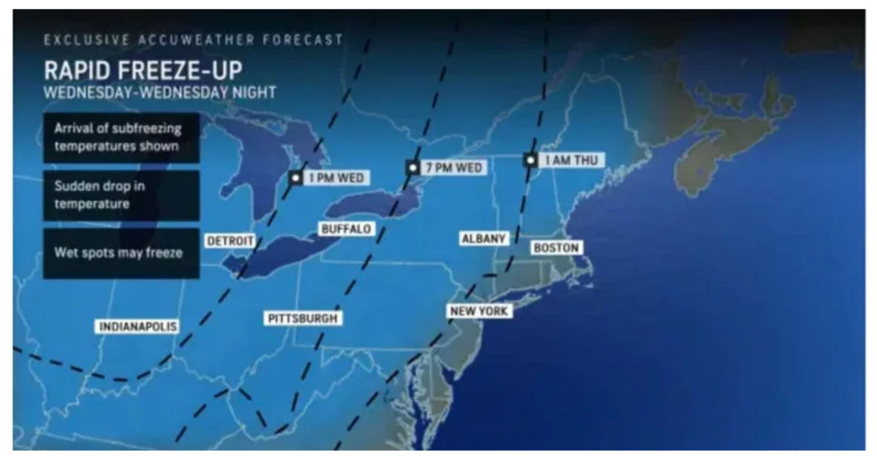
Motorists should be vigilant and monitor the temperature closely as icy patches may form on the roads due to the deep freeze. It is important to note that surfaces that appear wet might actually be icy, especially in areas where the temperature has dropped to near or below freezing. Stay cautious while driving on Thursday morning.
Bridges and overpasses have a higher chance of becoming icy since they cool down more quickly than other surfaces. However, it is important to note that there may be some exceptions to this.
The weather forecast for Thursday morning predicts clear skies and plenty of sunshine, with temperatures reaching a high of around 40 degrees.


